Rhino Exploration Limited, in collaboration with its strategic partners —
Kumba Exploration and Mining Limited (https://kumbaexploration.com/)
Earth Scan Technologies Limited (https://www.earthscantech.com/),
GPR Investigation Limited (https://gpr-tech.com/) — delivers high-quality geophysical survey services across Africa, Europe, and the CIS region.
Core Geophysical Methods
Transient Electromagnetic (TEM) – Loza System
The Loza system is a low-frequency transient electromagnetic sounding technology using long resistively-loaded collinear electric dipoles operating in the wave–diffusion transition regime.
This method is designed for deep subsurface investigation and is highly effective in detecting:
Conductive sulphide mineralisation
Faults, shear zones, and fractured systems
Hydrothermal alteration pathways
Stratigraphic conductive horizons
Key capability: deep penetration and sensitivity to conductive bodies at depth.
Induced Polarisation (IP) and Resistivity
Induced Polarisation surveys measure chargeability and resistivity, making them one of the most effective tools for identifying disseminated sulphide mineralisation.
Applications include:
Gold and copper sulphide exploration
Mapping of chargeable zones associated with pyrite, chalcopyrite, arsenopyrite
Differentiation of lithologies and alteration zones
Target delineation prior to drilling
Magnetic Surveys (Ground and UAV-Based)
Magnetic surveys are used to map variations in the Earth’s magnetic field, providing critical insights into geological structure and lithology.
Key applications:
Structural mapping (faults, shear zones, fold systems)
Detection of dykes and intrusive bodies
Identification of lithological contacts
Regional and detailed targeting support
Both ground-based and drone (UAV) magnetic surveys are available depending on project scale and resolution requirements.
Ground Penetrating Radar (GPR)
GPR is a high-resolution near-surface geophysical method used for detailed imaging of shallow subsurface structures.
Applications include:
Mapping of weathering profiles and regolith thickness
Identification of voids, cavities, and subsurface discontinuities
Structural mapping in the upper tens of metres
Investigation of tailings, waste dumps, and near-surface mineralisation
Integrated Geophysical Interpretation
All geophysical data are processed and interpreted within a geological framework to ensure accurate and meaningful results. This includes:
Correlation of multiple geophysical datasets
Identification of structural controls on mineralisation
Depth estimation of anomalies
Generation of coherent subsurface models
Survey Design and Execution
We provide full-cycle geophysical project delivery:
Survey planning and grid design
Field data acquisition using calibrated equipment
Quality control (QA/QC) during data collection
Data processing and inversion
Interpretation and reporting
Rhino Exploration Limited, in collaboration with its strategic partners —
Kumba Exploration and Mining Limited (https://kumbaexploration.com/)
Earth Scan Technologies Limited (https://www.earthscantech.com/),
GPR Investigation Limited (https://gpr-tech.com/) — delivers high-quality geophysical survey services across Africa, Europe, and the CIS region.
Core Geophysical Methods
Transient Electromagnetic (TEM) – Loza System
The Loza system is a low-frequency transient electromagnetic sounding technology using long resistively-loaded collinear electric dipoles operating in the wave–diffusion transition regime.
This method is designed for deep subsurface investigation and is highly effective in detecting:
Conductive sulphide mineralisation
Faults, shear zones, and fractured systems
Hydrothermal alteration pathways
Stratigraphic conductive horizons
Key capability: deep penetration and sensitivity to conductive bodies at depth.
Induced Polarisation (IP) and Resistivity
Induced Polarisation surveys measure chargeability and resistivity, making them one of the most effective tools for identifying disseminated sulphide mineralisation.
Applications include:
Gold and copper sulphide exploration
Mapping of chargeable zones associated with pyrite, chalcopyrite, arsenopyrite
Differentiation of lithologies and alteration zones
Target delineation prior to drilling
Magnetic Surveys (Ground and UAV-Based)
Magnetic surveys are used to map variations in the Earth’s magnetic field, providing critical insights into geological structure and lithology.
Key applications:
Structural mapping (faults, shear zones, fold systems)
Detection of dykes and intrusive bodies
Identification of lithological contacts
Regional and detailed targeting support
Both ground-based and drone (UAV) magnetic surveys are available depending on project scale and resolution requirements.
Ground Penetrating Radar (GPR)
GPR is a high-resolution near-surface geophysical method used for detailed imaging of shallow subsurface structures.
Applications include:
Mapping of weathering profiles and regolith thickness
Identification of voids, cavities, and subsurface discontinuities
Structural mapping in the upper tens of metres
Investigation of tailings, waste dumps, and near-surface mineralisation
Integrated Geophysical Interpretation
All geophysical data are processed and interpreted within a geological framework to ensure accurate and meaningful results. This includes:
Correlation of multiple geophysical datasets
Identification of structural controls on mineralisation
Depth estimation of anomalies
Generation of coherent subsurface models
Survey Design and Execution
We provide full-cycle geophysical project delivery:
Survey planning and grid design
Field data acquisition using calibrated equipment
Quality control (QA/QC) during data collection
Data processing and inversion
Interpretation and reporting

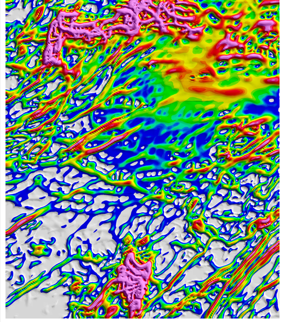 Image 1 of 22
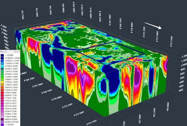 Image 2 of 22
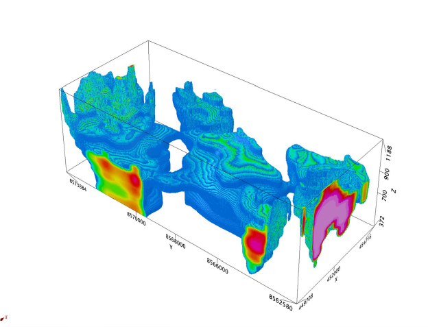 Image 3 of 22
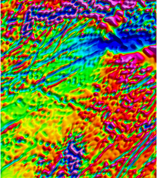 Image 4 of 22
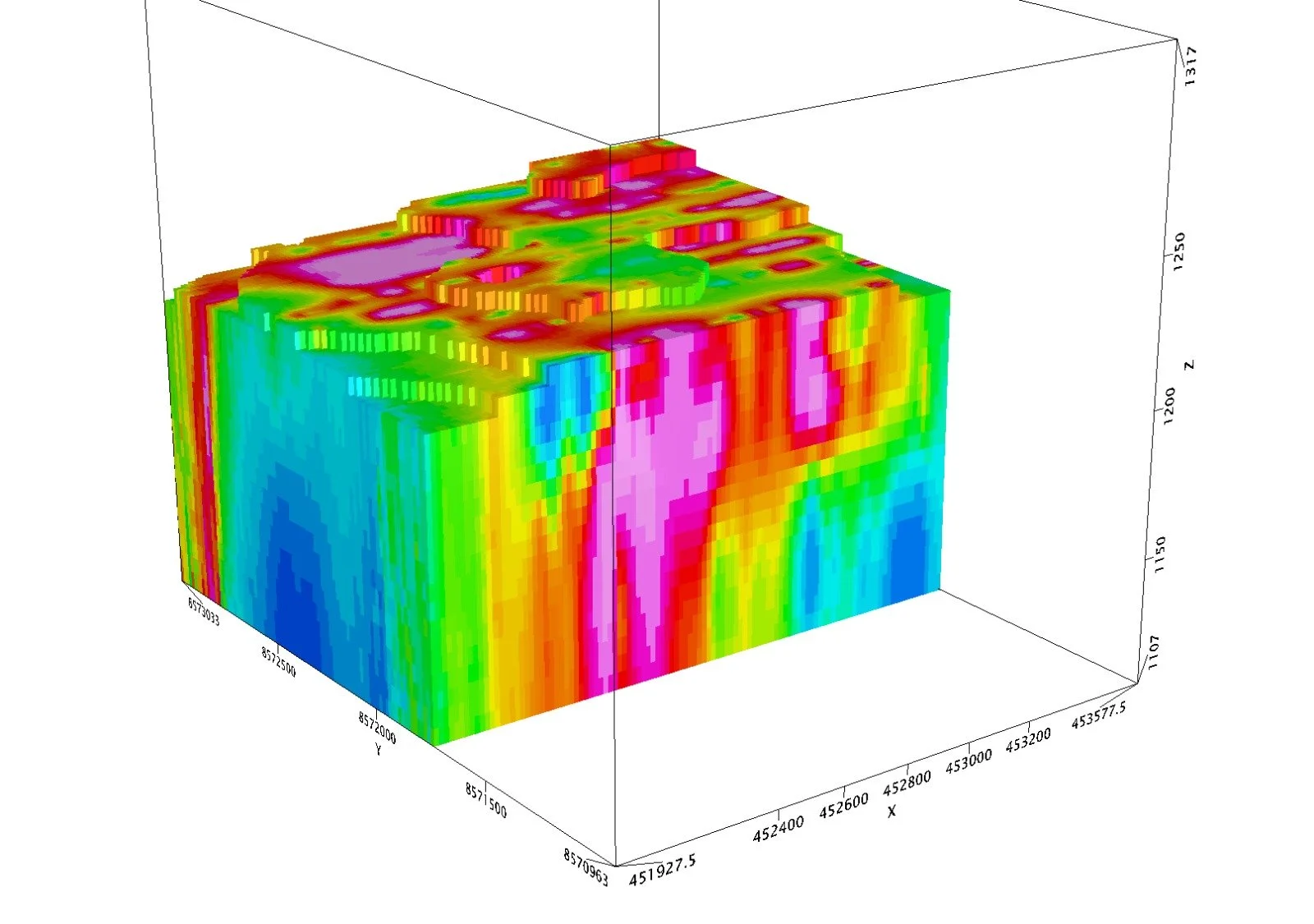 Image 5 of 22
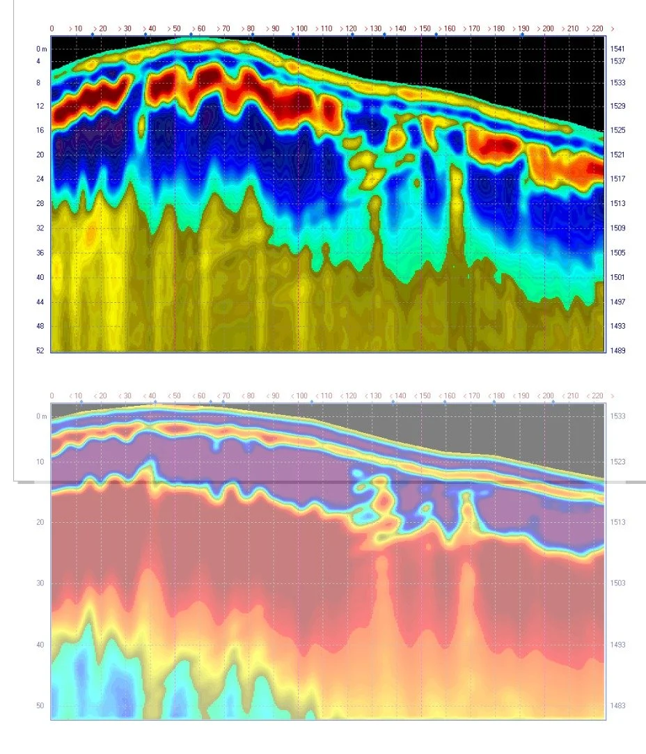 Image 6 of 22
 Image 7 of 22
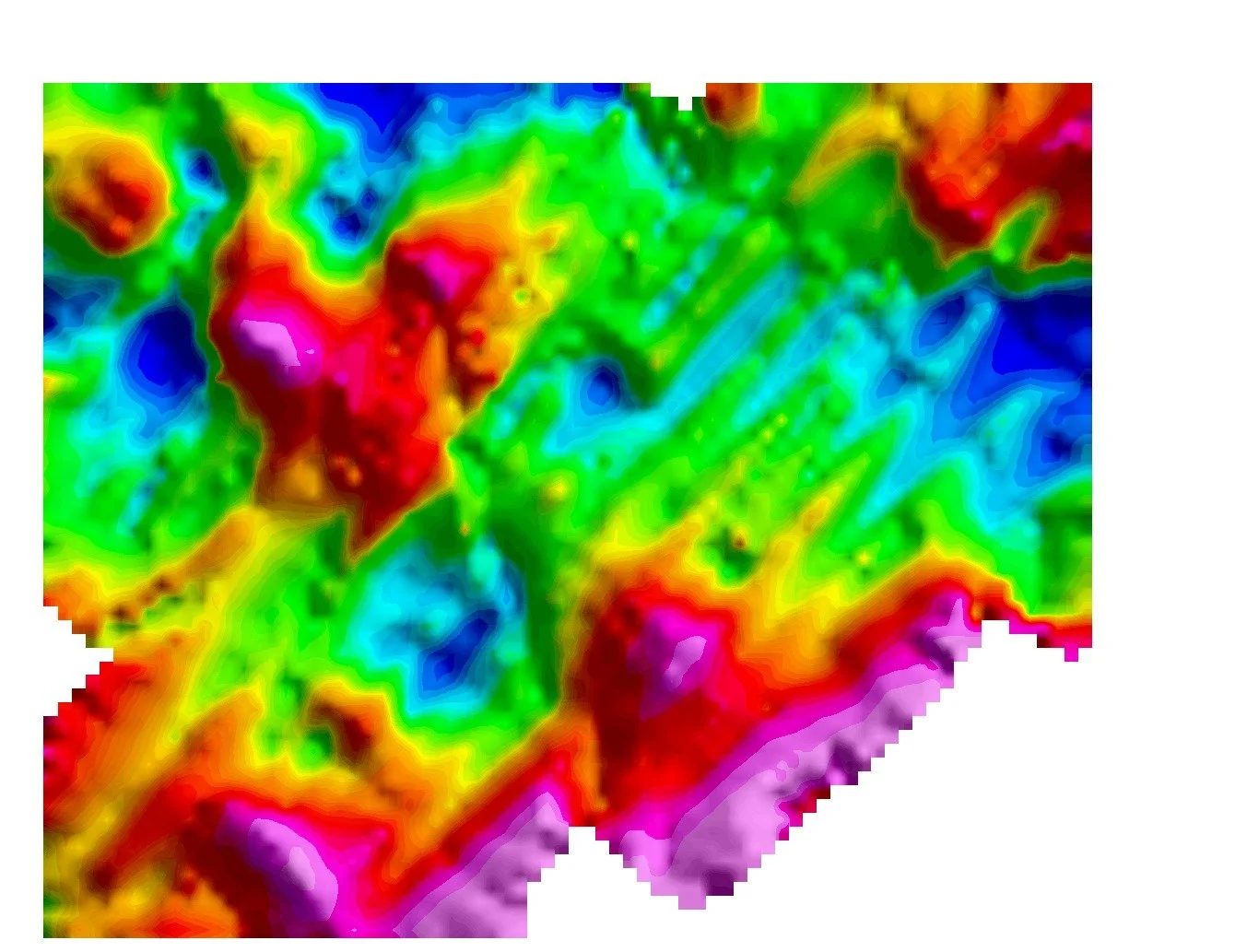 Image 8 of 22
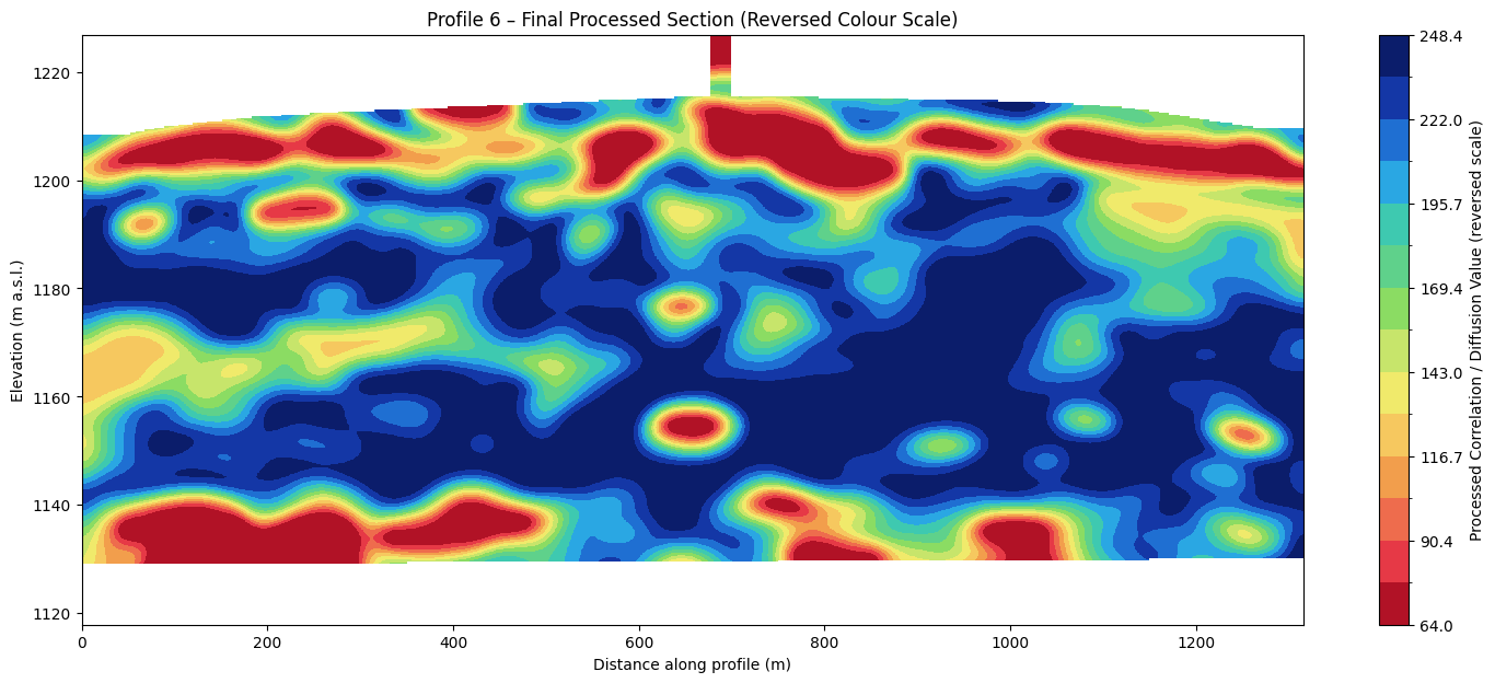 Image 9 of 22
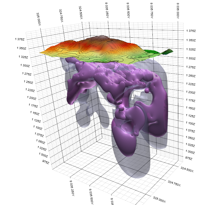 Image 10 of 22
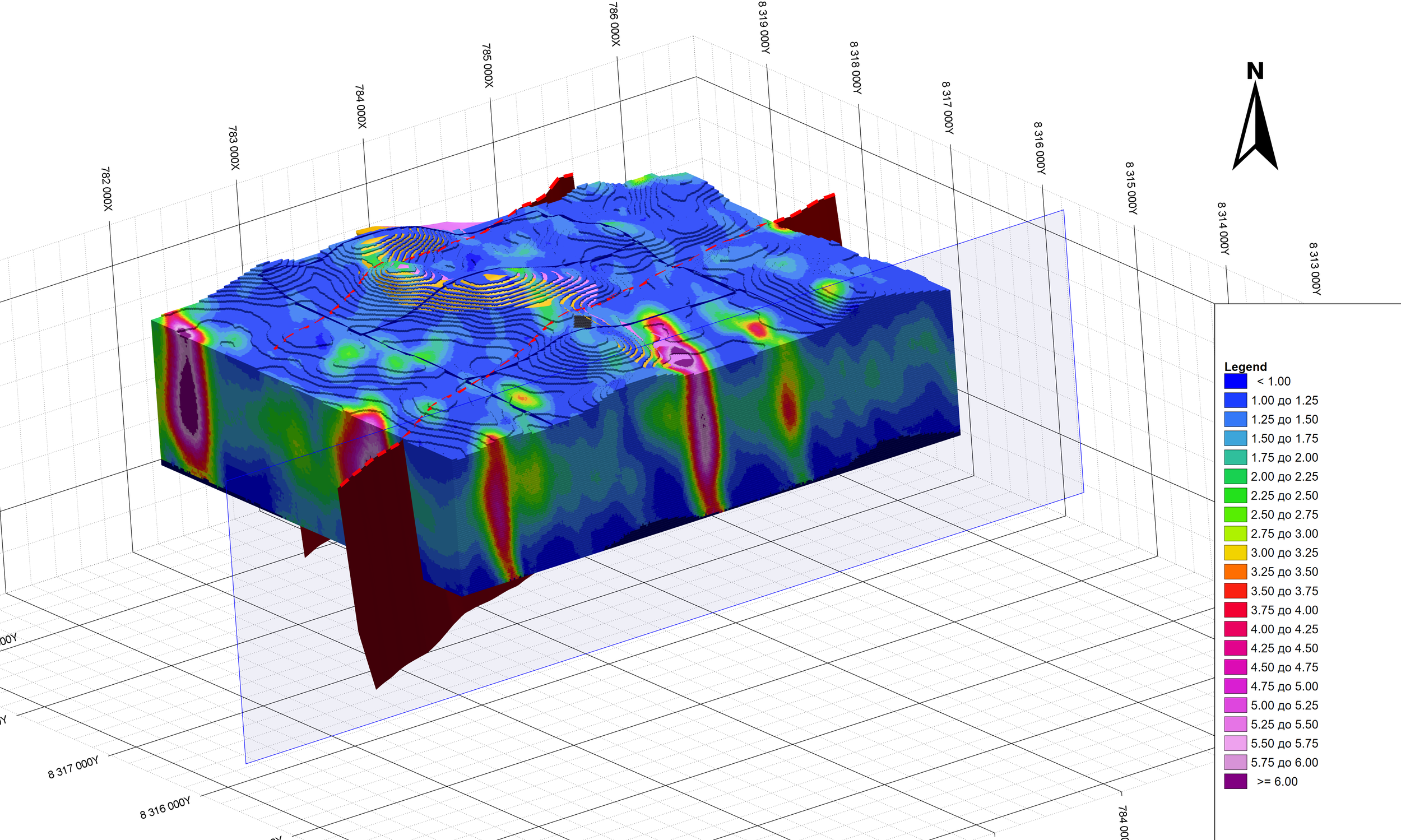 Image 11 of 22
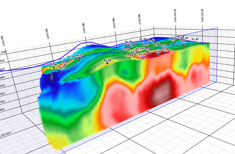 Image 12 of 22
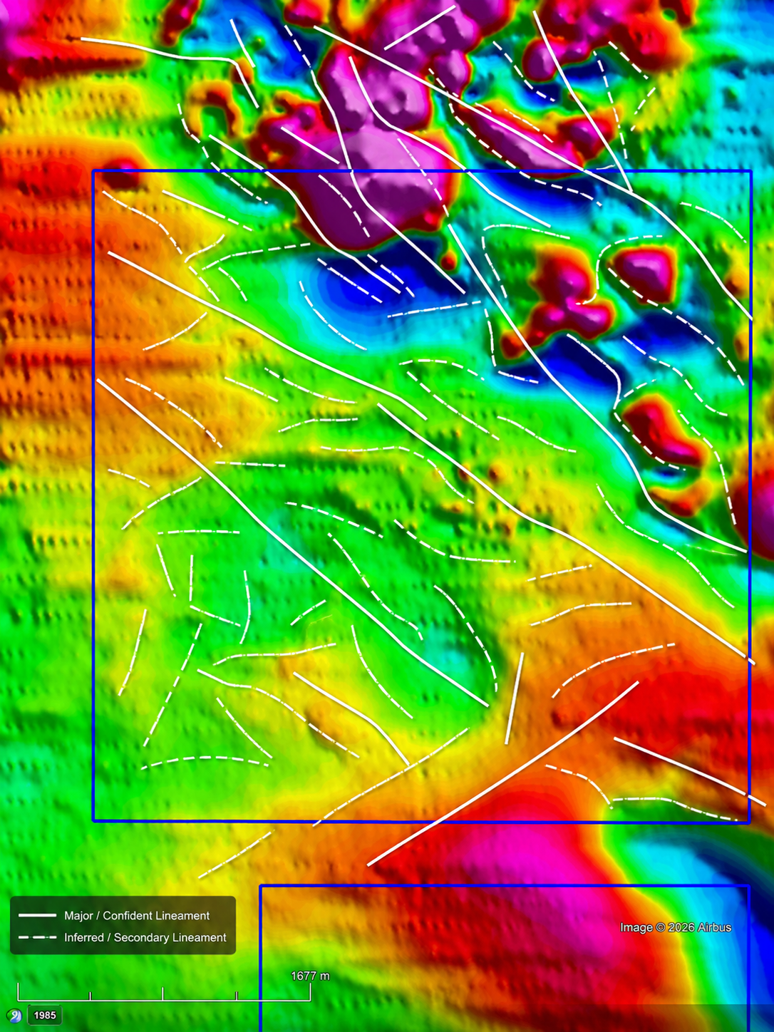 Image 13 of 22
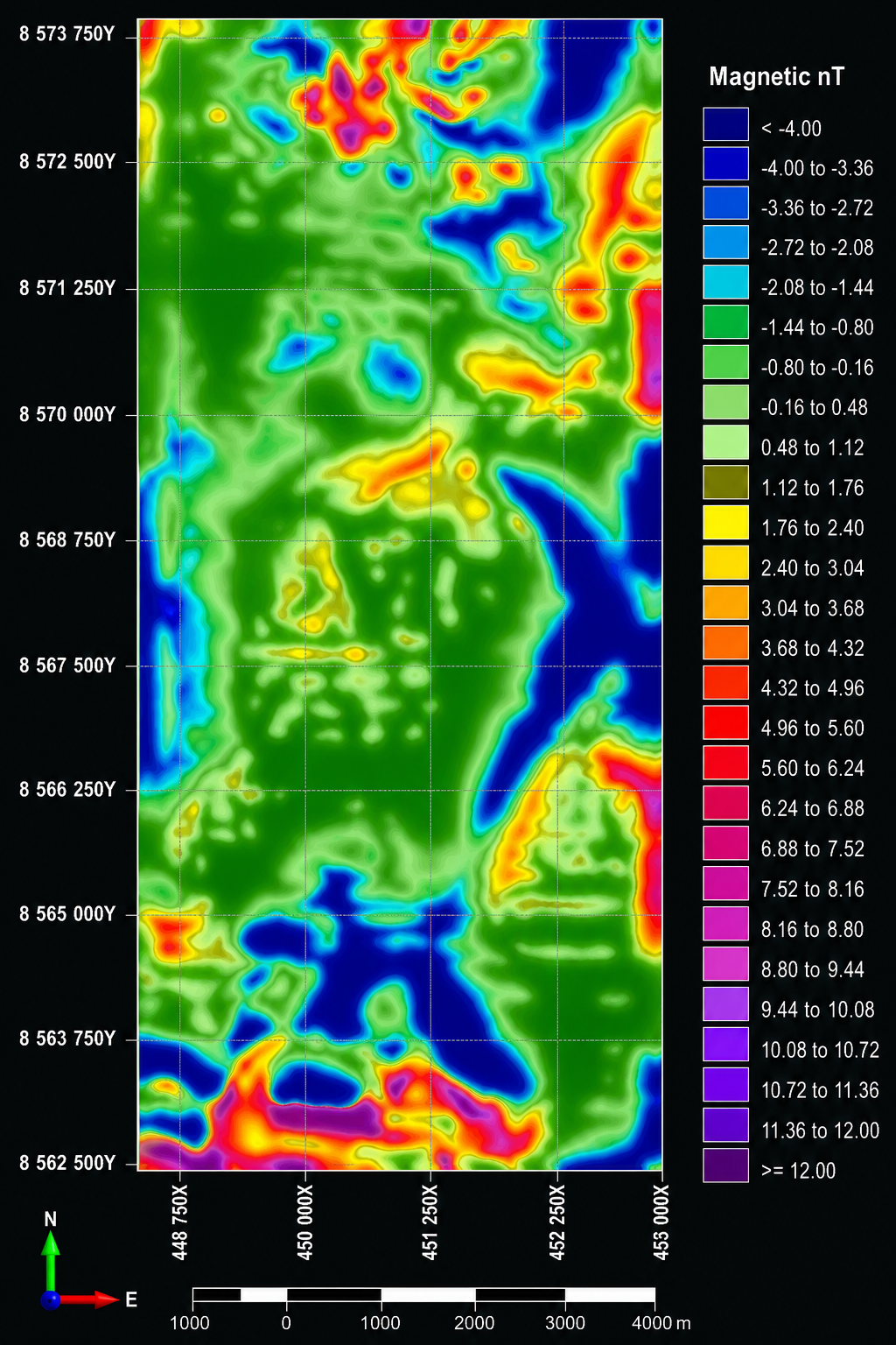 Image 14 of 22
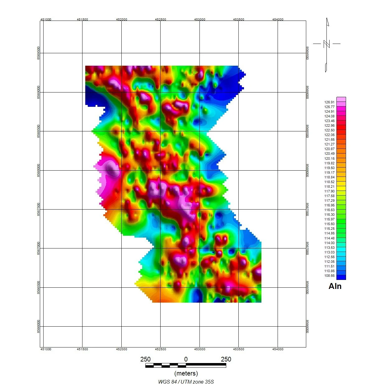 Image 15 of 22
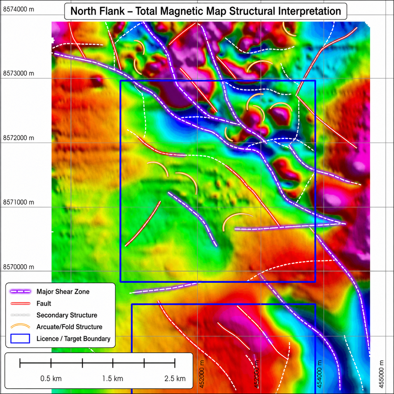 Image 16 of 22
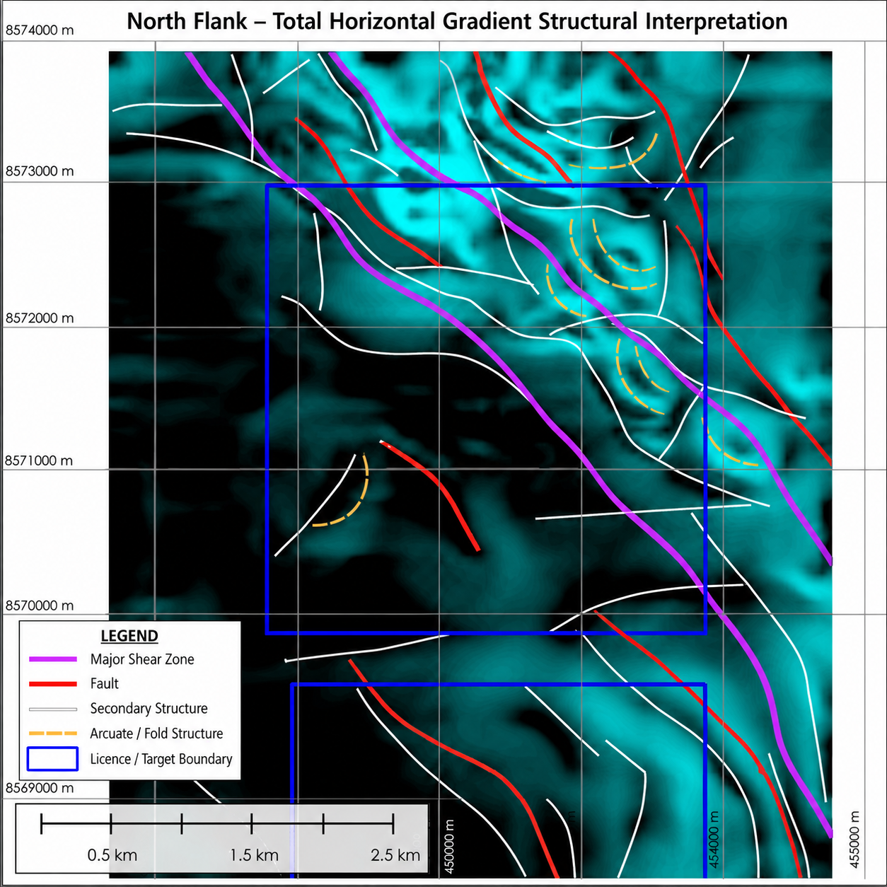 Image 17 of 22
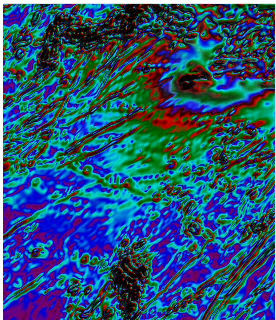 Image 18 of 22
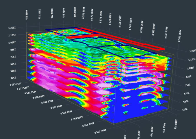 Image 19 of 22
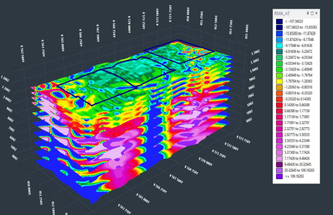 Image 20 of 22
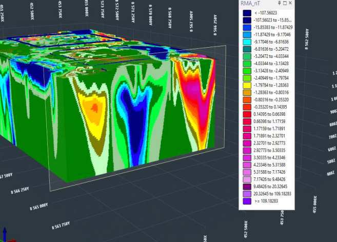 Image 21 of 22
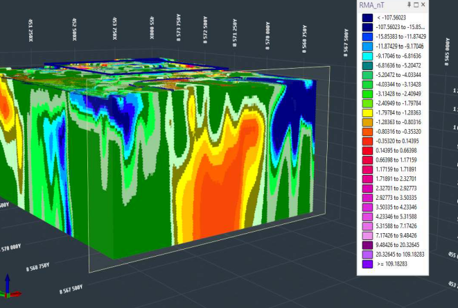 Image 22 of 22