OUR TEAM
Rhino Exploration Limited is the developer of the proprietary RINO ATLASβ’ AI-targeting methodology and the RINO Atlasβ’ platform, delivering advanced solutions in AI-Driven Mineral Exploration Targeting and 3-dimensional modelling.
The team combines extensive international experience in mineral exploration, resource estimation, and geological consulting, supported by advanced data integration and AI-driven analytical systems.
With over 20 years of experience and more than 90 completed projects, Rhino Exploration has successfully delivered exploration and modelling solutions across Africa, the CIS, and South-East Asia, covering gold, copper, cobalt, nickel, lithium, and rare earth elements.
Core Experience
Mineral Resource Estimation (MRE)
Geological and Mining Consulting
AI-Driven Mineral Exploration Targeting
Mineral Systems Analysis and Targeting
3-dimensional Geological and Mineralisation Modelling
Geophysical Interpretation (GPR, LOZA, IP, Magnetics)
Geochemical Data Analysis and Integration
Structural Geology and Mineral System Modelling
Advanced Data Integration and Systemisation
Spectral Analysis (Sentinel-2 VNIR/SWIR)
Our Approach
Rhino Exploration applies a geology-first and system-driven approach, combining classical resource geology with modern AI-driven targeting methodologies.
The RINO COREβ’ framework enables integration of multi-source datasets into a unified analytical environment, ensuring that all exploration targets are geologically robust, technically defensible, and optimised for successful drilling outcomes.
OUR PARTNERS
KUMBA Exploration & Mining Ltd (Zambia)
Description:
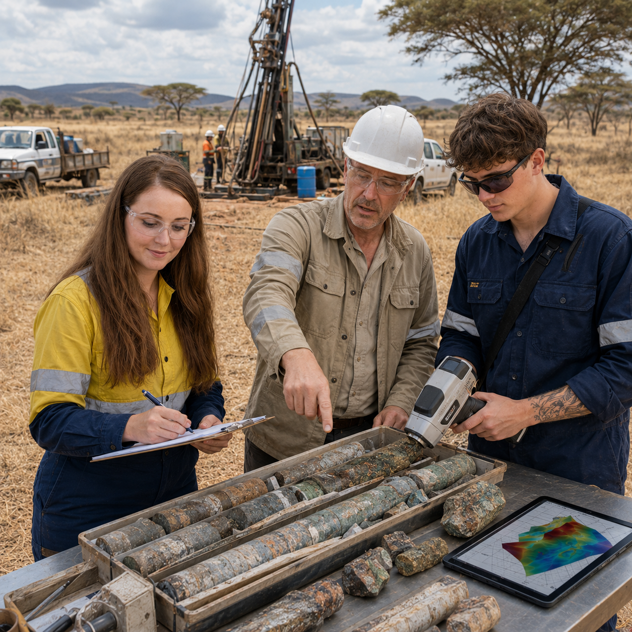
The primary and long-term operational partner in Zambia, playing a central role in the execution of exploration programs and field validation of AI-generated targets. KUMBA delivers a full cycle of field exploration services, from reconnaissance and detailed geological mapping to geochemical sampling, trenching, and drill program supervision.
The company also provides comprehensive geophysical survey capabilities, including GPR profiling (ground penetrating radar) and magnetic surveys, enabling high-resolution investigation of subsurface structures, fault systems, and mineralised zones.
With a strong in-country presence and extensive field experience, KUMBA ensures the practical implementation of exploration strategies, bridging the gap between advanced modelling and real-world execution. Their work is critical in validating targets, refining geological interpretations, and supporting efficient and accurate drilling programs.
Earth Scan Technologies (Zimbabwe / International)

Description:
A multidisciplinary partner providing geological investigations, remote sensing, and advanced geophysical services, including GPR and LOZA technologies. The company specialises in the integration of satellite data (Sentinel-2 and other sources), spectral analysis, and subsurface profiling to support AI-driven mineral exploration targeting and high-resolution structural interpretation.
Earth Scan Technologies plays a key role in generating spectral grids, mineral signatures, and predictive datasets, which are further integrated into AI-based targeting workflows and 3-dimensional mineralisation models.
The company operates with its head office in Calgary, Canada, and an operational office in Harare, Zimbabwe, combining global technical expertise with strong regional execution capabilities across African projects.
GPR Investigation
Description:
A specialised geophysical contractor based in the Czech Republic (Europe), providing high-resolution subsurface imaging using GPR and LOZA technologies. The company focuses on detailed mapping of fault systems, structural discontinuities, fracture zones, and sulphide-bearing bodies, enabling accurate interpretation of subsurface geology.
Through the integration of GPR and low-frequency LOZA methods, the company is able to image both near-surface features and deeper conductive zones, supporting the identification of stratiform and structurally controlled mineralisation.
These geophysical results are commonly integrated with geological and geochemical datasets, significantly improving the accuracy of target definition, drill positioning, and overall exploration efficiency.
DiRT Exploration
Description:
A specialised technical partner led by Dr. Neil Pendock, focusing on advanced spectral geophysical data processing and multi-sensor data integration. The company applies expert-level analysis of Sentinel-2 and other satellite datasets to generate high-resolution spectral grids and mineral signatures.
DiRT Exploration plays a key role in developing analytical models and spectral datasets that are integrated into AI-driven workflows, supporting the identification of concealed mineralisation and alteration systems. Their work enhances the accuracy of targeting by refining spectral inputs used in 3-dimensional modelling and predictive analysis.
Neuro Mine
Description:
An advanced technology partner specialising in AI-driven data analysis, machine learning, and digital solutions for mineral exploration. NeuroMine focuses on the development of intelligent systems for processing large-scale geoscientific datasets, enabling improved prediction, targeting, and decision-making.
The company contributes to the integration of AI algorithms, data modelling frameworks, and analytical tools used in exploration workflows, supporting the identification of hidden mineralisation patterns and optimisation of exploration strategies.